Tsunami Solomon Islands, 2013
Earthquake and Tsunami, Solomon Islands, 06 February 2013
A magnitude 8 earthquake struck northeast of Australia on 6 February 2013. It has hit near the Solomon Islands in the Pacific Ocean, causing a tsunami that killed at least thriteen people and may have destroyed a number of villages, causing local evacuations. Tsunami warnings were issued as far afield as Australia, but were soon cancelled.

Richard Arculus of the Australian National University in Canberra, who visited the area recently, say it is seismically "particularly active, but you don't hear much about it because it is relatively sparsely populated". There have been dozens of quakes there in the last month, with over 40 greater than magnitude 4.5 in the preceding seven days.
The Pacific Tsunami Warning Center issued a tsunami warning for the Solomon Islands, Fiji , Papua New Guinea, and several other islands in the region. The agency also issued a tsunami watch for New Zealand , Australia and eastern Indonesia. The earthquake produced a tsunami measuring 1 metre (3 ft 3 in) at Lata, Solomon Islands. Thetsunami reached about 500 m (1,600 ft) inland. Smaller tsunamis of 50 cm (20 in) and 11 cm (4.3 in) were reported in New Caledonia and Vanuatu .

The USGS originally reported that the quake was about 5.8 kilometers deep, says James Goff of the University of New South Wales in Sydney. "That made me think 'oh no, here we go again, this will be a bad one'." Earthquakes as shallow as that can transmit more energy to the surface, producing more intense shaking and larger tsunamis. However, the Pacific Tsunami Warning Center in Hawaii then said the quake was 33 km deep, so the tsunami was weaker than first thought. The USGS now gives the depth as 28.7 km.
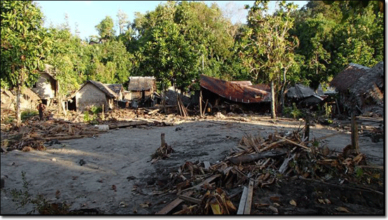
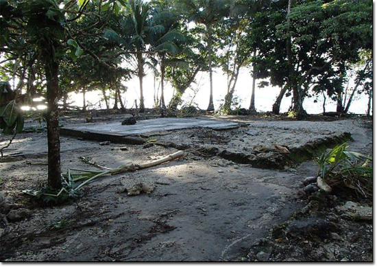
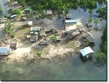
In the capital of the Solomon Islands, Honiara, residents evacuated to higher ground, causing traffic jams. Local news agencies reported that four villages were destroyed in this area. Houses were flooded in eastern Temotu Province. On Santa Cruz Island, 1.5 m (4.9 ft) waves damaged 50 buildings. In Lata, the tsunami damaged the airport and flooded low-lying areas killing nine people, five of them elderly and one a child. More than 100 houses on the island were damaged, and the water and electricity services were interrupted. It was reported that almost all houses in Nela village were washed away, and some homes in Venga village were shifted by water. Officials in Noumea ordered residents to evacuate along the eastern coast of New Caledonia and nearby Loyalty Islands. Residents also evacuated to higher ground in Suva, the capital of Fiji. The earthquake killed 13 people, and 5 people remain listed as missing.


